Recreation area overview
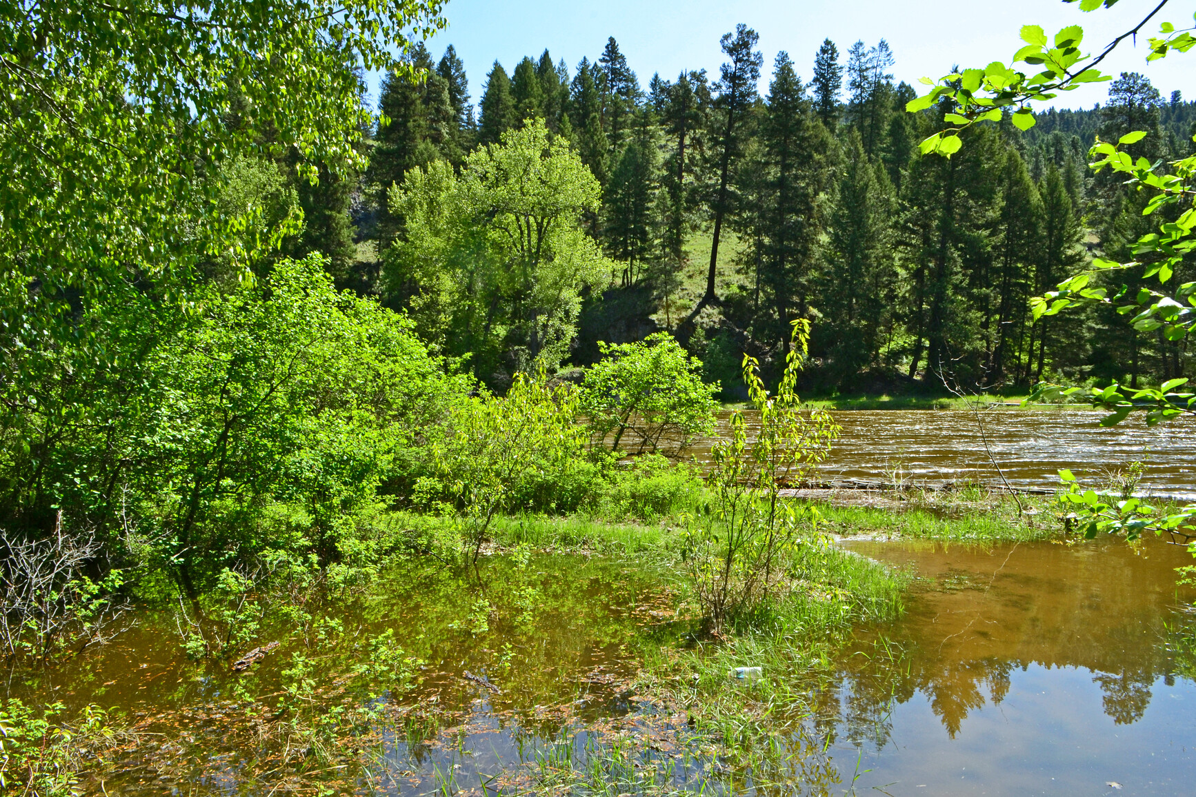
Stands of Ponderosa pine interspersed with open areas of bunchgrass characterize this recreation area that lies astride the Kettle River.
This park is situated between the Okanagan Plateau and the Monashee Mountains. The abandoned right-of-way of the historic Kettle Valley section of the Canadian Pacific Railway, completed in 1916 to link the Pacific coast with southern Alberta, passes through the site. On the east bank of the river is evidence of the once flourishing gold and silver mines.
In the summer, excellent canoeing or inner tube riding although there are some hazards on the river. In the winter, cross-country skiing and snowshoeing are favourite pastimes.
Advisories
Dates of operation
The recreation area is open April 26, 2024 to September 30, 2024
- Facility type
- Frontcountry camping
- Main operating season
- 2024: April 26 to September 30
- Winter season
- Not known
- Booking required
- 2024: May 16 to September 2
- Service note
- Weather dependent.
- Facility type
- Frontcountry camping
- Number of campsites
- Reservable frontcountry sites: 85
- Vehicle-accessible sites: 114
- Double sites: 12
- Main operating season
- 2024: April 26 to September 30
- Winter season
- Not known
- Booking required
- 2024: April 26 to September 29
- Service note
- Weather dependent.
- Facility type
- Group camping
- Number of campsites
- Reservable frontcountry sites: 2
- Groupsites: 2
- Main operating season
- 2024: May 2 to September 29
- 2025: May 1 to September 28
- Winter season
- Not known
- Booking required
- 2024: May 2 to September 28
- 2025: May 1 to September 27
- Service note
- Weather dependent.
Safety info
- Poison Ivy: A low plant white three glossy, bright green leaves and white berries. Wear shoes when hiking, especially in underbrush. Calamine lotion is an effective treatment.
If you decide to walk parts of the historic Kettle Valley Railway, the bridge across the river is still intact, however, caution is advised at all times on and around the bridge.
Special notes
- Please note: The numbers on the campsites have recently been revised. Please check the park map for the revised campsite numbers.
Camping
- Total number of campsites
- Total reservable frontcountry sites: 85
- Total vehicle-accessible sites: 114
- Total double sites: 12
- Total groupsites: 2
Campsite reservations and Group campsite reservations are accepted and first come, first served sites are also available.
All campsite and group site reservations must be made through the BC Parks reservations system. When reservations are not available all campsites function as first come, first served.
All sites are vehicle-accessible. Sites 1 to 85 are reservable and sites 86 to 114 are for first come, first served camping. There are 12 double sites located throughout the park.
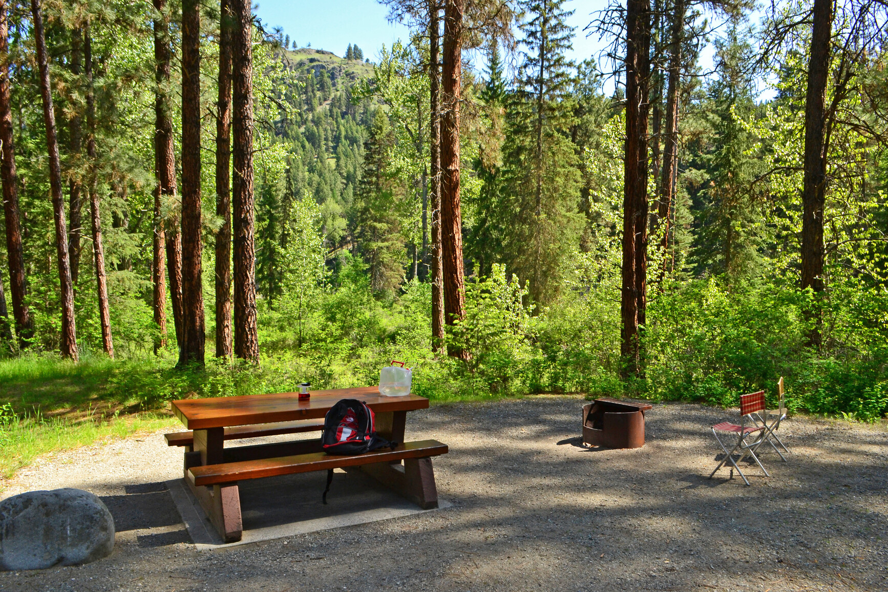
The sites are arranged in three main loops. The sites are located in the beautiful, open Ponderosa pine and bunchgrass forest with the red-orange bark of the trees contrasting sharply with the bland grass. This forest type gives the campground an open, spacious feeling. The exception is the loop of sites 21 to 53, which offer a significantly different camping feel. These are smaller sites that are very private and found in thick Douglas fir with many shrubs separating the sites. The newest loop of sites 88 to 114 are some of the most open sites in the park.
Check-in procedures:
- Guests with reservations: Check reservation board at campground host site to confirm pre-assigned site number.
- Guests without reservations: Select any vacant first come, first served site (sites 86 to 114) or if you are looking for a one night stay, select any vacant site marked with a one night only tag. If you are unsure of a site’s availability, please ask a park operator or the park host for assistance.
| Vehicle-accessible camping fee | $30 per party per night |
| BC seniors’ rate (day after Labour Day to June 14 only) | $15 per senior party per night |
For information on the BC seniors’ rate, see the camping fees page.
There is one large group campsite at this park. The group camping area is accessed from the road to the day use just past the turn-off to the regular campground.
The gravel road is gated and leads to a fenced gravel parking loop. There is room for roughly ten vehicles along the loop, more in the open center of the loop. Surrounding the fenced parking is a band of lawn then open Ponderosa pine/bunchgrass forest. There are 13 tables on the lawn area that has potential for tenting with plenty of shade provided by the Ponderosa pines.
There are two flush toilets, one wheelchair-accessible pit toilet just off the parking as well as two taps and two fire rings. There is also a half-wall log frame shelter with cement floor. Inside are a stove, sink, counter and six tables. The area is on a terrace above the river and there are benches along the edge overlooking the river. The group campsites are open from May 5 to October 1. Reservations are accepted.
Electrical hookups are available in both group campsites. An extra fee of $8.00 per 30 amp service per night will be collected on site. Cash only please.
| Youth group camping fee | $1 per person (6+), with a $50 minimum and $150 maximum. Children under 6 are free! |
| Regular group camping fee | $120 per group site per night, plus $5 per adult (16+, minimum charge for 15 adults), plus $1 per child (6-15). Children under 6 are free! |
For information on the youth group policy see the group camping page.
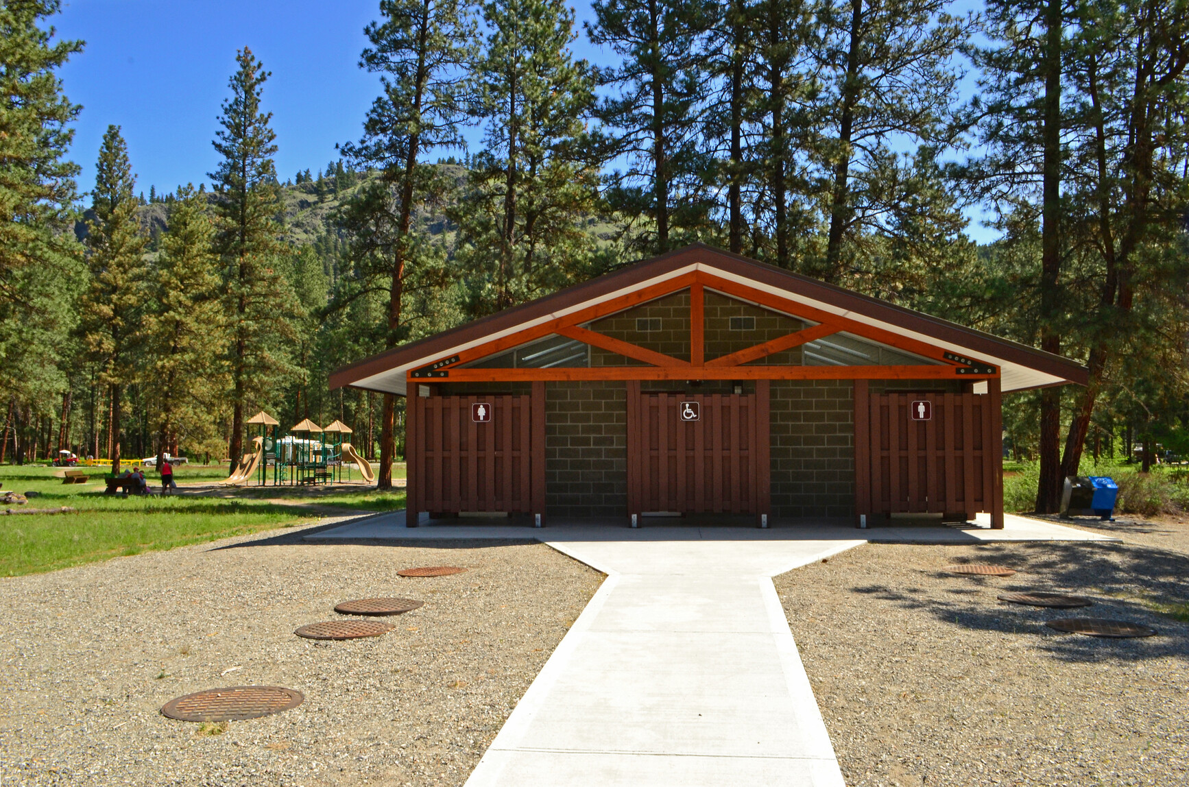
Facilities
Accessibility information is available for this park.
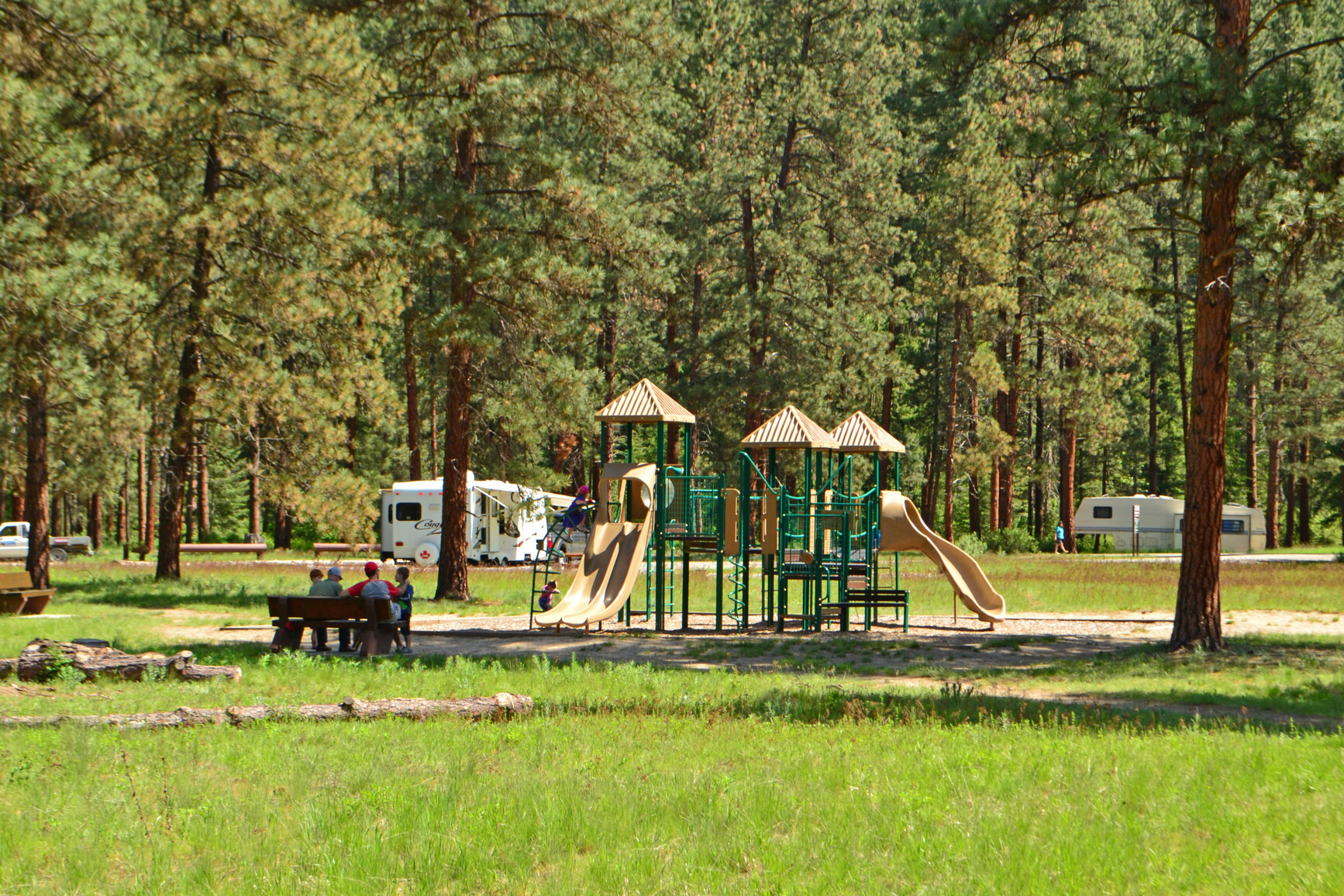
A children’s bike park is available for the use and enjoyment of visitors staying in the campground.
A sani-station and dump is available during the collecting season. Drinking water is available here.
Campfires are allowed and campfire rings are provided at each campsite. We encourage visitors to conserve wood and protect the environment by minimizing the use of fire and using campstoves instead.
Firewood can be purchased in the park or you may bring your own wood. Fees for firewood are set locally and may vary from park to park.
To preserve vegetation and ground cover, please don’t gather firewood from the area around your campsite or elsewhere in the park (this is a ticketable offence under the Park Act). Dead wood is an important habitat element for many plants and animals and it adds organic matter to the soil.
Campfire bans may be in place. Before lighting a fire, check for bans or restrictions on BC Wildfire Service and on local or Indigenous government websites.
This park has a day-use and picnic area situated right on the beautiful Kettle River. There is a gravel parking lot though no vehicles over 7 m or trailers are permitted due to space restrictions.
There is a hand pump for water near the parking as well as two pit toilets. A short, 30 m walk from the parking lot brings visitors to the river and ten picnic tables with excellent views of the river. The tables are separated by shrubs and well shaded. There is a tap near the tables. The amount of beachfront varies with water level. A 2 km trail follows the river.
There are hot showers in the shower building. There is no extra charge for showers and they are for registered guests, only.
Activities
One of Canada’s most historic and scenic railway routes runs through this park. The Kettle Valley Railway opened in 1916 and discontinued service in 1973 and the track was removed between the towns of Midway and Penticton in 1980.
This track now part of the Trans Canada Trail, a shared-use recreation trail that will wind its way through every Province and Territory forming the longest trail of its kind in the world, spanning approximately 17,898 kilometres. It will accommodate five core activities: walking, cycling, horseback riding, cross-country skiing and snowmobiling (where possible/desired). If you decide to walk parts of the historic Kettle Valley Railway, the bridge across the river is still intact, however, caution is advised at all times on and around the bridge.
For your own safety and the preservation of the park, obey posted signs and keep to designated trails. Shortcutting trails destroys plant life and soil structure.
Swimming in the river is available, as well as tubing along the river currents. Always be cautious.
There are no lifeguards on duty in BC Parks.
There is a bait ban on the Kettle River above Cascade Falls from April 1 to October 31.
Anyone fishing in British Columbia must have an appropriate licence. To learn more, see the fishing and hunting guide.
Pets and domestic animals must be on a leash at all times and are not allowed in beach areas or park buildings. You are responsible for their behaviour and must dispose of their excrement. Backcountry areas are not suitable for dogs or other pets due to the potential for problems with bears and other wildlife.
Bicycles must keep to roadways and designated trails. Bicycle helmets are mandatory in British Columbia. The KVR Trail offers great cycling opportunities. A bike park was recently added to the campground area and it has been extremely popular with kids of all ages.
Please note that bicycles with electric assist motors (e-bikes) are not allowed on the trails within Kettle River Recreation Area. E-bikes are restricted to park roads and areas where motorized use is permitted. The only exception to this policy will be for authorized and identified trail maintenance bikes conducting work on behalf of BC Parks.
Located 5 km north of Rock Creek on Highway 33. The closest communities are Rock Creek, Westbridge, Midway, Greenwood and Osoyoos.
Recreation area and activity maps
Learn more about this recreation area
Recreation area details
- Date established: July 6, 1972
- Size: 179 hectares
Recreation area contact
This park proudly operated by:
Quality Recreation Ltd.
250 584-9025
info@explorebcparks.ca
Nature and culture
History
One of Canada’s most historic and scenic railway routes runs through this park. The Kettle Valley Railway opened in 1916 and discontinued service in 1973 and the track was removed between the towns of Midway and Penticton in 1980. This track now makes an excellent trail. On the east bank of the river is evidence of the once flourishing gold and silver mines.
Cultural Heritage
There is evidence of First Nations use of the area. Some ancestors have been repatriated into the park and there are archaeological restrictions on development.
Conservation
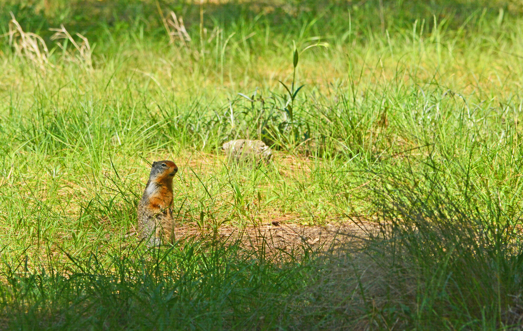
The park protects two red listed plant communities of old growth cottonwood and dry Ponderosa pine bunchgrass. The area is an important winter ranger for deer and there is also a high incidence of cavity nesting birds throughout the park.
Reconciliation with Indigenous Peoples
BC Parks honours Indigenous Peoples’ connection to the land and respects the importance of their diverse teachings, traditions, and practices within these territories. This park webpage may not adequately represent the full history of this park and the connection of Indigenous Peoples to this land. We are working in partnership with Indigenous Peoples to update our websites so that they better reflect the history and cultures of these special places.