

Park overview
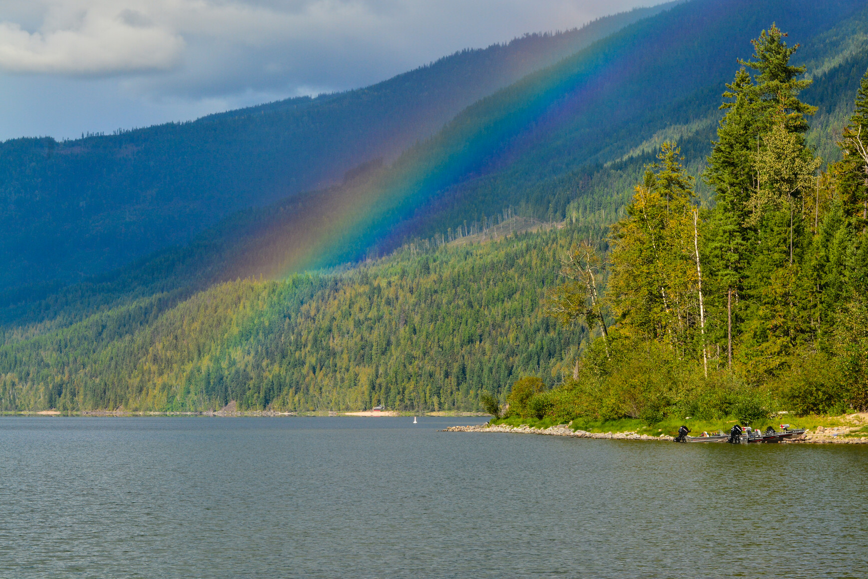
Well off the beaten track, nestled in a beautiful mountain setting are the quieter, sandy beaches of Mabel Lake Park.
Lush forests offer a pleasant retreat from the more crowded urban centres. The park’s sandy shoreline is backed by a cool forest of hemlock, red cedar and birch, in sharp contrast to the drier ponderosa pine and Douglas fir forests to the west. Squirrels often visit the campsites and painted turtles can be seen at Taylor Creek. Deer, black bear and even moose can be seen occasionally as well as a variety of birdlife and water fowl.
Mabel Lake is a fisherman’s destination park as several local fishing derbies are held in the park each year. It is not uncommon to find a handful of fisherman enjoying the peaceful spring months, fishing off the beach. Opportunities for rainbow trout are available here year-round.
Temperatures are warm in the summer but rarely extreme, making this a great campsite for those who prefer a cooler locale than the Okanagan Valley. The natural setting and access to a 35 km long lake make this a popular destination for all ages.
Advisories
Dates of operation
The park gate is open year-round
- Facility type
- Boat launch
- Main operating season
- 2024: year-round
- Winter season
- Not known
- Winter season note
- Open year-round, as long as weather allows park access.
- Facility type
- Day-use area
- Main operating season
- 2024: year-round
- 2025: year-round
- Winter season
- No services
- Winter season note
- Open year-round, as long as weather allows park access.
- Facility type
- Group camping
- Main operating season
- 2024: March 29 to October 14
- 2025: April 4 to October 13
- Winter season
- Not known
- Booking required
- 2024: March 29 to October 13
- 2025: April 4 to October 12
- Facility type
- Frontcountry camping
- Main operating season
- 2024: March 27 to October 14
- Winter season
- Not known
- Booking required
- 2024: March 27 to October 13
- Facility type
- Frontcountry camping
- Main operating season
- 2024: March 27 to October 14
- Winter season
- Not known
- Booking required
- 2024: March 27 to October 13
- Facility type
- Frontcountry camping
- Main operating season
- 2024: March 27 to October 14
- Winter season
- Not known
- Booking required
- 2024: March 27 to October 13
- Booking note
- This park accepts cash, only.
Safety info
- Mabel Lake can experience sudden weather changes. Boaters are reminded to find shelter in bays along the lakeshore in times of gusty winds.
- The lake bottom drops off steeply from the beach. Use caution.
- In the spring and fall, there is a lot of wildlife activity in the park. Please exercise caution and keep a safe distance. For more information on staying safe please visit the wildlife safety page.
Camping
- Total number of campsites
- Total reservable frontcountry sites: 114
- Total vehicle-accessible sites: 114
- Total groupsites: 1
Campsite reservations and group campsite reservations are accepted. During the peak season, all of the sites reservable and non-occupied reservation sites can accommodate first come, first served customers for one, or perhaps more nights, depending on availability.
All campsite and group site reservations must be made the BC Parks reservations system. When reservations are not available, all campsites function as first come, first served.
This park offers 114 vehicle-accessible campsites in three campgrounds: Trinity, Monashee, and Taylor Creek.
Campsite reservations are accepted. During the peak season, all of the sites reservable and non-occupied reservation sites can accommodate first come, first served customers for one, or perhaps more nights, depending on availability. Due to the remote location, all first come, first served sites are cash, only.
| Trinity campground consists of sites 37 to 84 arranged in three loops and includes four double sites. The roads are single lane gravel. This is the first campground encountered when driving into the camping area. The loops are set in a thick forest of cedar and hemlock that provide shade and privacy with a forest floor carpeted in moss. The loops are separated by open grassy areas and linked by a trail that runs the length of both campgrounds. The sites consist of medium to large gravel spurs that have been raised and levelled. The abundance of trees may make parking difficult for some large RVs. |
| Monashee campground consists of sites 1 to 36 arranged in two smaller loops and includes eight double sites. The sites are generally smaller than those in the Trinity campground and the forest is thicker allowing for more privacy. There are more double sites but these are also smaller and perfect for trucks with campers. The sites are gravel but not raised. |
| Taylor Creek campground consists of sites 85 to 114 arranged in one small loop. The sites offer good privacy under a heavily forested canopy and are the furthest from the lake. |
The main gate located at the park entrance is locked between 11pm and 7am during the operating season. The main gate is open to the boat launch, but the road is not maintained during the off-season.
There is no phone or cell service in the park and the closest store for snacks and other small items is right next to the boat launch. For more services, Lumby is the closest community.
| Vehicle-accessible camping fee | $23 per party per night |
| BC seniors’ rate (day after Labour Day to June 14 only) | $11.50 per senior party per night |
For information on the BC seniors’ rate, see the camping fees page.
There is a group camping area at this park. Access is through the Monashee campground but well separated from it by forest allowing for privacy. Taylor Creek flows beside the area.
There is an open gravel parking area next to the 80 square metre wood frame, log picnic shelter. There are picnic tables under the shelter and a large fire pit beside it. There is space in an open grassy area for approximately ten tents and in an adjacent gravel area surrounded by trees for a further ten tents or several RVs. The area has two taps and two flush toilets.
| Youth group camping fee | $1 per person (6+), with a $50 minimum and $150 maximum. Children under 6 are free! |
| Regular group camping fee | $80 per group site per night, plus $5 per adult (16+, minimum charge for 15 adults), plus $1 per child (6-15). Children under 6 are free! |
For information on the youth group policy see the group camping page.
Facilities
Accessibility information is available for this park.
There are nine cold-water taps in the park, centrally located in each campsite loop as well as at the day-use parking area and in the group site. Water is from a well. Taps are shut off during the off-season.
There is a concrete boat launch that slopes gently into the lake located at the southern boundary of the park beside the Mabel Lake Marina.
There is a large 60 square metre wooden dock with rubber bumpers and pilings. Ample parking is available in the gravel parking lot. There are 10 angled spots for trailers designated with cement barriers and also spaces for trucks with trailers. A turn around area near the launch makes backing up easier.
A sani-station and dump is located at the entrance to the park across from the service area and information shelter. Drinking water is also available at the sani-station. It is available during the collecting season from April 1 to October 13.
Campfires are allowed and campfire rings are provided at each campsite. We encourage visitors to conserve wood and protect the environment by minimizing the use of fire and using camp stoves instead. Firewood can be purchased in the park or you may bring your own wood. Fees for firewood are set locally and may vary from park to park.
To preserve vegetation and ground cover, please don’t gather firewood from the area around your campsite or elsewhere in the park (this is a ticketable offence under the Park Act). Dead wood is an important habitat element for many plants and animals and it adds organic matter to the soil.
Campfire bans may be in place. Before lighting a fire, check for bans or restrictions on BC Wildfire Service and on local or Indigenous government websites.
This park has a large day-use and picnic area extending from the Trinity campground to the boat launch. The lawns are level, open and spacious, providing the opportunity for a variety of games.
There are 10 picnic tables amongst the cottonwood trees that separate the lawn from the beach and provide some shade. The tables have a great view of the lake and the adventure playground. Two flush toilets and a tap are located next to the playground. Five more tables with three fire rings are found nearer to the boat launch, also surrounded by open, spacious lawn. There is a gravel parking lot with 45 spots. Two pit toilets and a tap are located in a small patch of shrubs just off the parking lot.
Depending on water levels, it is possible to walk the beach the entire length of the park from the boat launch to Taylor Creek. Taylor Creek braids and forms a delta as it enters the lake. Sandy floodplains form underwater as the light sand settles out of the stream in miniature example of the geologic process that formed many parts of the Okanagan Valley.
There are a total of 16 flush toilets in the park plus two pit toilets.
Activities
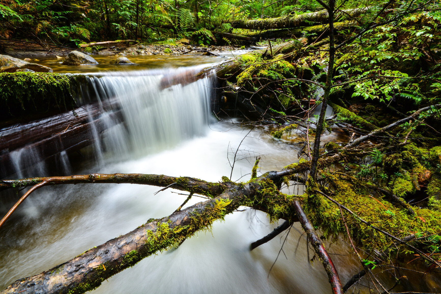
The short 1 km “Changing Rainforest” self-guided interpretive trail winds through the shaded forest carpeted in moss that is found between the campsites and the main road. It is a gentle hike taking visitors through the maturing second growth rainforest of western red cedar, hemlock and some Douglas fir. The hike takes 30 minutes.
Mabel Lake is a great spot for swimming. A very large fine sand beach provides the perfect place to warm up and dry off or just relax in the sun.
The beach is separated from the lawns of the day-use area by cottonwood trees and is easily accessed from both the day-use parking lot and the Trinity campground.
Another smaller beach is found next to the Monashee campground. The sand is more coarse but still a great spot for swimming. Both areas are marked with buoys.
There are no lifeguards on duty in BC Parks.
There are paddling, canoeing and kayaking opportunities at this park. This is a fairly large lake (35 km long) and subject to sudden weather changes. Paddle near shore and explore the extensive shoreline if the weather is poor. The lake is also popular with motorboats.
Kayaking is welcome at this park.
Anyone fishing in British Columbia must have an appropriate licence. To learn more, see the fishing and hunting guide.
There is a designated beach area for dogs between the boat launch and the swimming area. In all other areas of the park, pets and domestic animals must be on a leash at all times. Please remember you are responsible for their behavior and must dispose of their excrement. Backcountry areas are not suitable for dogs or other pets due to the potential for problems with bears and other wildlife.
Bicycles must keep to roadways. Bicycle helmets are mandatory in British Columbia.
Please note that bicycles with electric assist motors (e-bikes) are not allowed on the trails within Mabel Lake Park. E-bikes are restricted to park roads and areas where motorized use is permitted. The only exception to this policy will be for authorized and identified trail maintenance bikes conducting work on behalf of BC Parks.
Take Hwy 6 east from Vernon to Lumby. Follow signs in Lumby turning north onto Mabel Lake Road. Follow the Shuswap River for 36 km on paved road through a picturesque landscape of farmland and ranches and 1 km of gravel road to Mabel Lake and the campground. The total distance from Vernon is 60 km.
Park and activity maps
- Mabel Provincial Park Map [PDF] (March 4, 2021)
- Brochure [PDF] (July 9, 2018)
Learn more about this park
Park details
- Date established: December 21, 1972
- Size: 193 hectares
Park contact
This park is proudly operated by:
Kaloya Contracting Ltd.
camping@campokanagan.ca
236-970-7815
- This is not a campsite reservations number.
- Please specify the park name when sending/leaving a message.
Nature and culture
History
Mabel Lake Park was established in 1972. The lake was named after Mabel Charles, daughter of a Hudson’s Bay Company manager during the late nineteenth century.
Conservation
The area’s climate and landscapes mark the dramatic transition from the Okanagan Basin to the Quesnel and Shuswap Highlands. To the west, the slopes of the Thompson Plateau are covered in Ponderosa pine and Douglas fir, while on the east side of Mabel Lake the wetter and steeper slopes of the Shuswap Highlands grade into the Monashee Mountains. For visitors accustomed to the dry Okanagan forests, the cedar and hemlock of Mabel Lake clearly indicate the greater rainfall in this valley.
Wildlife
Squirrels often visit the campsites and painted turtles can be seen at Taylor Creek. Deer, black bears and moose can be seen occasionally as well as a variety of birdlife and water fowl.
Reconciliation with Indigenous Peoples
BC Parks honours Indigenous Peoples’ connection to the land and respects the importance of their diverse teachings, traditions, and practices within these territories. This park webpage may not adequately represent the full history of this park and the connection of Indigenous Peoples to this land. We are working in partnership with Indigenous Peoples to update our websites so that they better reflect the history and cultures of these special places.