 |
||||
|
As the east coast of Vancouver Island continues to develop, the land is subject to the various demands from the public. We harvest timber, work farms, locate housing, manage waste, expand commercial and industrial opportunities against a spectacular backdrop of wilderness, faunal diversity, clear streams and open wetlands. Initially our footprint is small, but as we grow we cannot avoid indelibly changing the landscape. It seems prudent to periodically take stock of where we are in the developmental stage, what we have affected and what remains. |
||||
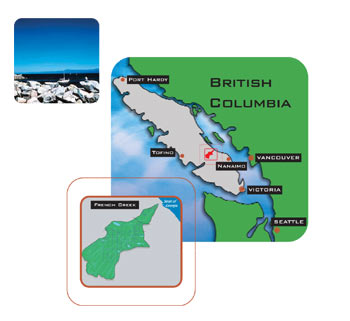
French Creek drains a watershed approximately 68 km2 and located on the east coast of Vancouver Island near the City of Parksville. The watershed consists of steep forested headlands that drain the edge of the South Vancouver Island Ranges, 1080 meters above sea level, and the more gentle topography of the Nanaimo lowlands. The lowlands are commonly used for farmland, rural residential, commercial and urban residential as well as the main transportation corridors. Land ownership is predominantly private, with islands of Crown managed forestland. The watershed lies within the rainshadow of the Vancouver Island Ranges, and the climate is typically warm and dry in the summer, mild and wet in the winter. French Creek is considered to be a sensitive stream under the Fisheries Protection Act, and the watershed is a designated community watershed.
|
||||
| Click on the image above for a larger view | ||||