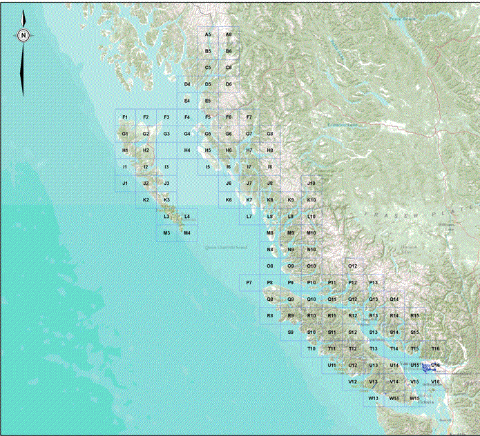
Coastal Flood Hazard Areas In British Columbia
The Key Map displayed is of the potential year 2100 floodplain areas, based on approximate
flood construction levels (incorporating sea level rise).
Please Note: that floodplain areas have not been ground proofed, verified,
or studied to confirm their exact location.
Open the box location of the map to expand the potential 2100 floodplain area.
The preceding information is record information that has been funded by, or provided to the
Ministry of Forests, Lands and Natural Resource Operations.
The information was prepared for the intended recipient for their purposes only.
Any use which a third party makes of the information, or any reliance on or decisions made based on it
are the responsibility of such third parties. The Ministry accepts no responsibility for damage,
if any, suffered by any third part as a result of decisions made or actions taken based on this information. |
|